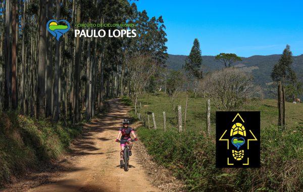
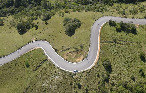
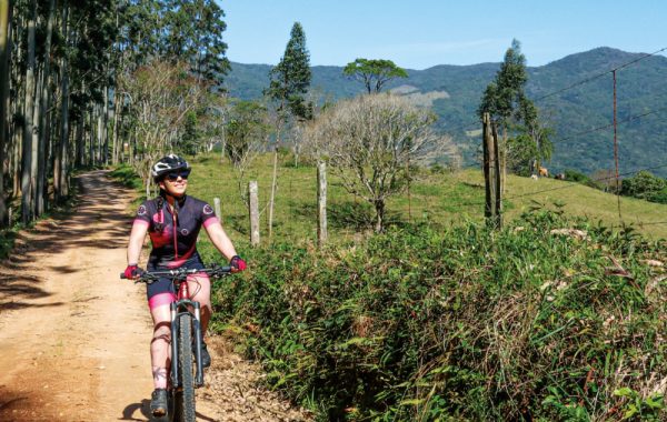
O Paulo Lopes Cycling Circuit It's a special way to get to know the municipality in direct contact with nature. The 67.58 km route passes through preserved areas, rural communities, historical sites, and landscapes that showcase an authentic side of the region. The route is fully signposted and combines stretches of dirt road, paved sections, and some challenging climbs, always with views that make every kilometer worthwhile. It's an experience suitable for both beginners in bicycle touring and those seeking more intense adventures.
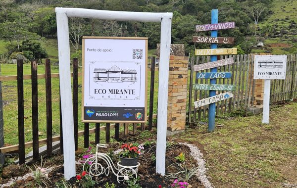
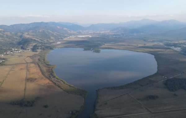
Divided into five sections, the circuit reveals different landscapes and surprises along the way. The cyclist begins by transitioning from urban to rural areas, then continues through family farms, historical chapels, and artisanal production sites such as... Dom Bueno Distillery and the Bugio Brewery. Further on, you'll find attractions such as... Enchanted Waterfall, Morro do Agudo and the Heart Lagoon, one of the most striking points on the route. During the ride, several support points — cafes, markets, restaurants and accommodations — ensure a safer, more comfortable and welcoming journey.
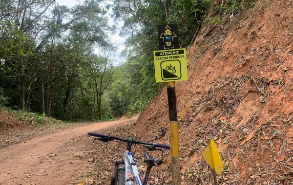
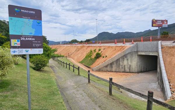
The signs scattered along the trails provide important information and QR codes that allow cyclists to record their journey and obtain a Certificate of Completion. Therefore, in addition to enjoying nature, cyclists can keep a memento of this achievement.
With beautiful landscapes, local culture, and a route designed for welcoming visitors, the Paulo Lopes Cycling Circuit is the perfect invitation for those who want to cycle and discover new experiences.
To learn more and access the map of Circuit on Strava, Access the full text on the blog., CLICK HERE!