Introduction
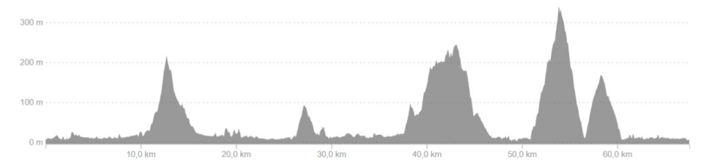
The Paulo Lopes Cycling Circuit is one of the most complete and engaging ways to explore the municipality. 67.58 kilometers, With 1,492m of accumulated elevation gain, the route crosses preserved natural areas, rural communities, historical sites and impressive viewpoints, revealing an authentic and often unknown side of the region.
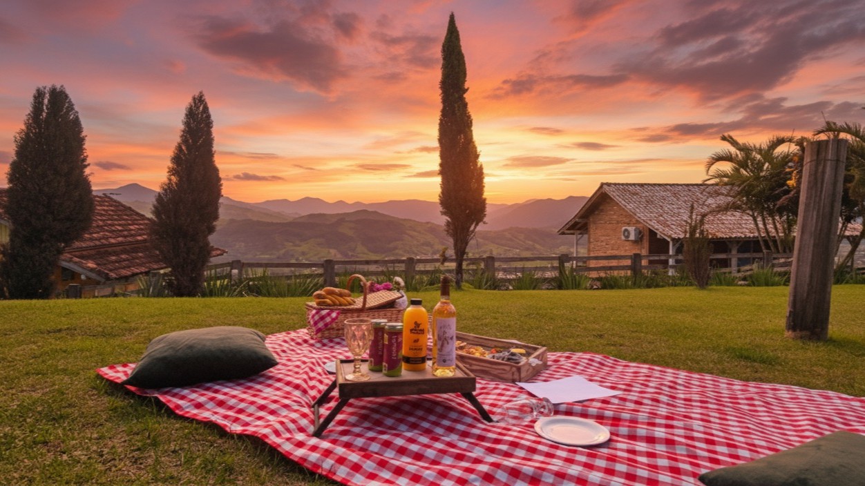
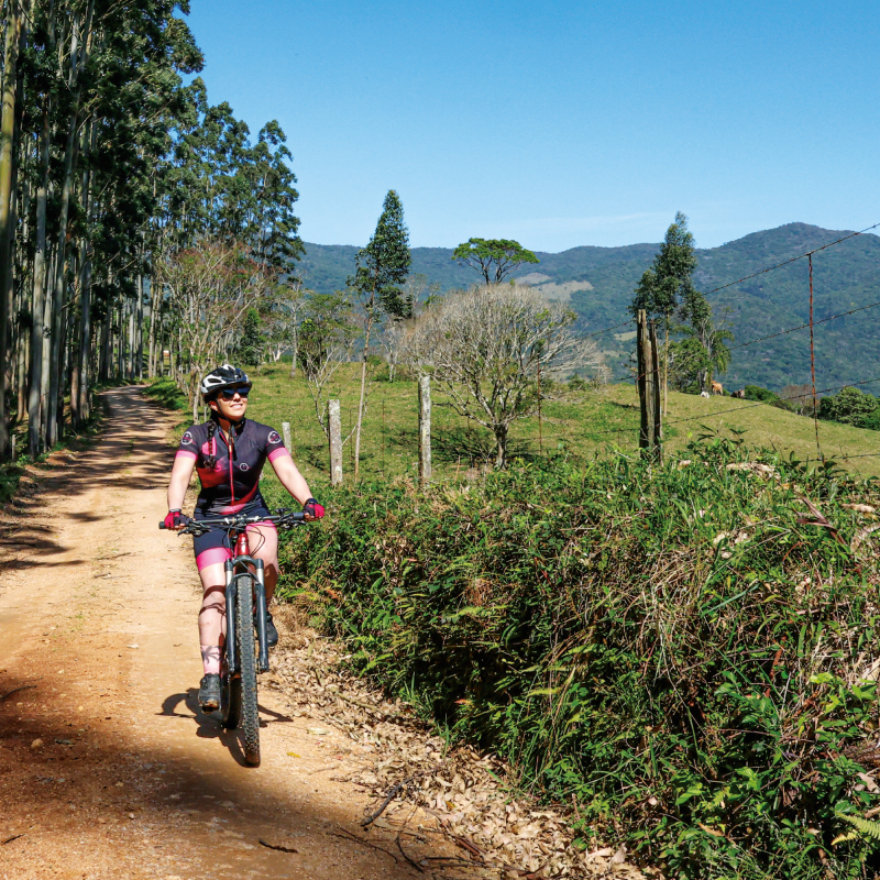
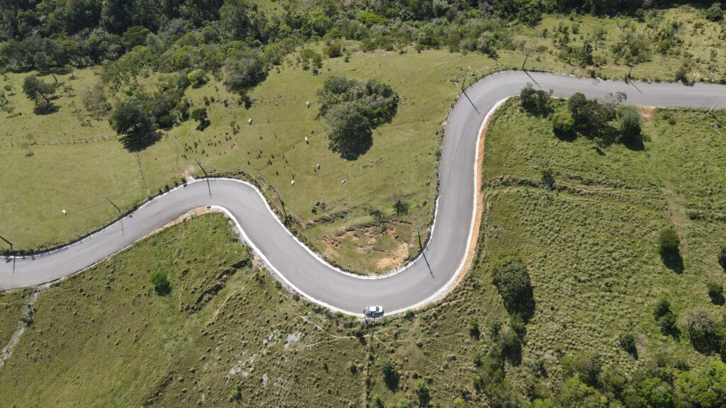
This route is designed for those seeking contact with nature, outdoor experiences, challenge, and complete immersion in the landscape. The route combines stretches of dirt road, paved sections, and challenging climbs, always accompanied by views that reward every pedal stroke.
Fully signposted and with support points along the way, the circuit was designed to offer safety, comfort and autonomy to cycle tourists, whether they are looking for a light ride or a more intense experience.
A circuit divided into five sections.
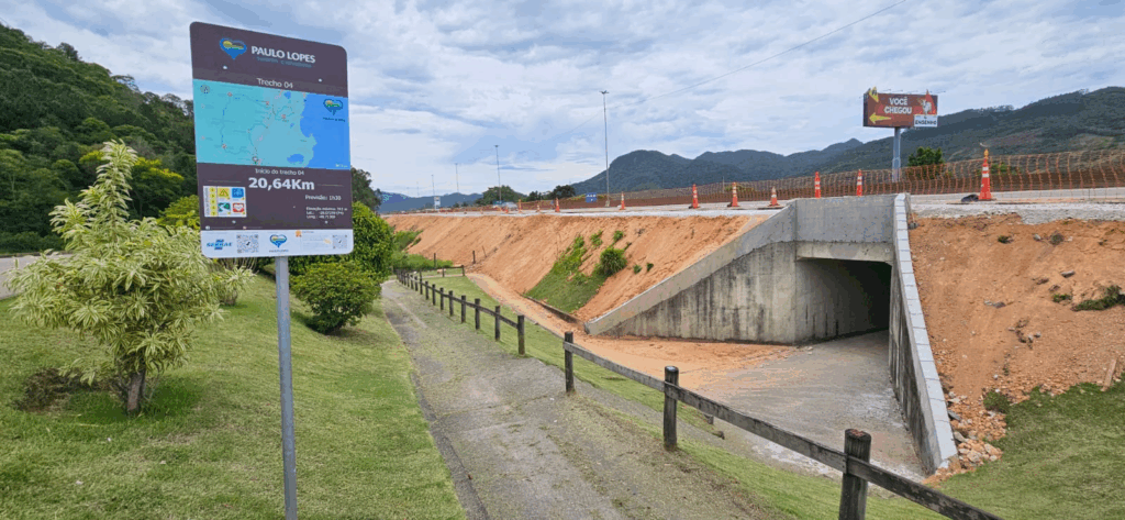
The route is organized into five sections, all with starting point identified by official signs. (arrow with the official Circuit footprint) that guide the cyclist and provide essential information.
Section 01 – 9.07 km
Start: Osni Manoel dos Santos Gymnasium
The first section welcomes cyclists with a gradual transition between the urban environment and the rural landscape. It's an introductory stage, perfect for getting familiar with the rhythm of the circuit and appreciating the first views of hills and green areas.
Weather forecast: 0h40
Maximum elevation: 15 m
Coordinates:
– Latitude: -27.96516
– Longitude: -48.68161
Section 02 – 12.9 km
Start: Saint Anthony Chapel
A light and pleasant route, marked by quiet roads, family-run properties, and scenery that highlights the essence of the Paulo Lopes countryside. Ideal for leisurely cycling, observing the surrounding landscape.
Weather forecast: 1h10
Maximum elevation: 203 m
Coordinates:
– Latitude: -27.95814
– Longitude: -48.75652
Section 03 – 9 km
Start: Chapel of Our Lady of Grace
An enchanting stretch, marked by history, local culture, and beautiful stopping points. Here the cyclist passes through... Dom Bueno Distillery and by Bugio Brewery, two perfect locations for a strategic break and to discover the region's artisanal production.
Weather forecast: 0h40
Maximum elevation: 92 m
Coordinates:
– Latitude: -28.05101
– Longitude: -48.77175
Section 04 – 20.64 km
Start: Engenho Snacks
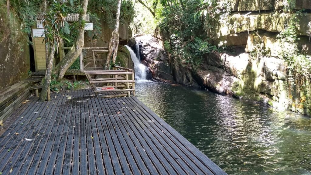
Considered one of the most challenging sections of the circuit, as it runs alongside the BR-101 highway, it demands extra caution. On the other hand, it offers some of the most impressive scenery along the route. The cyclist passes through... Enchanted Waterfall, through areas of preserved forest and by the rise of Agudo Hill, one of the highlights of the experience.
Weather forecast: 1h30
Maximum elevation: 312 m
Coordinates:
– Latitude: -28.07299
– Longitude: -48.71369
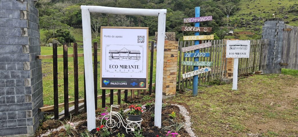
Section 05 – 14.69 km
Start: Eco Mirante Hotel
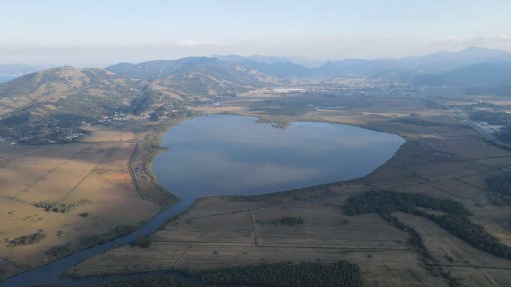
The longest section of the circuit, ideal for those who enjoy long routes and panoramic views. The path includes hills, natural viewpoints, and the charming view of... Heart Lagoon, This makes this stage especially memorable. It's the perfect ending for those seeking challenges accompanied by beautiful visual rewards.
Weather forecast: 1h10
Maximum elevation: 325 m
Coordinates:
– Latitude: -27.98939
– Longitude: -48.66697
The Circuit has a cumulative elevation gain of 1,492m and reaches an altitude of 338 meters above sea level (section 5).
Landscapes and attractions along the way
The cyclist traverses a veritable collection of striking landscapes, alternating between tranquil stretches, open fields, native forests, and strategic points that enhance the route.
Among the attractions that are part of the route are:
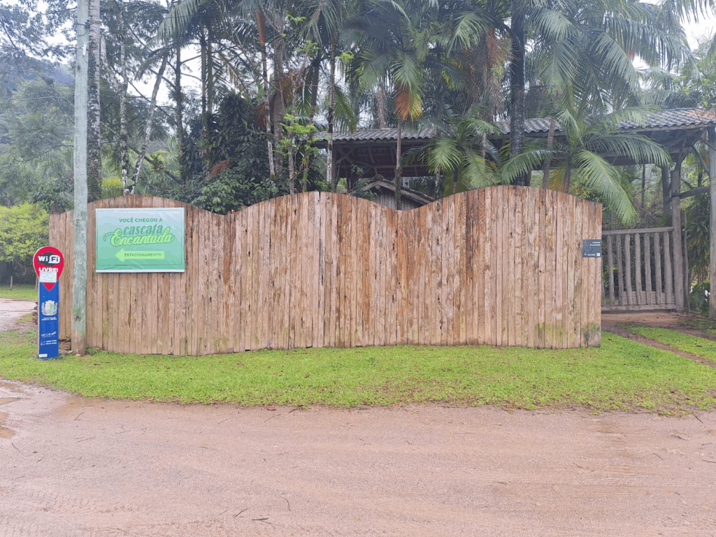
- Enchanted Waterfall
- Chapel of Our Lady of Grace
- Bugio Brewery
- Engenho Snacks
- Agudo Hill
- Cheese with an Accent
- Eco Mirante Hotel
- Siriú Waterfall
- Siriú Road Viewpoint
It's a route that combines local gastronomy, culture, nature, and adventure, providing visitors with a complete cycling tourism experience.
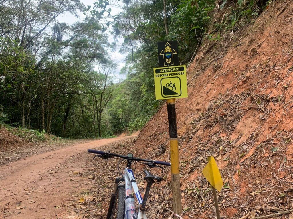
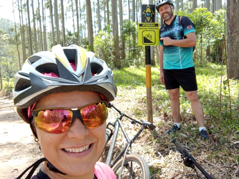
Signage and safety guaranteed.
Despite including a small stretch along the BR highway, the circuit is... very well signposted, ensuring the safety of cyclists throughout the entire route. As identification and wayfinding signs They indicate direction, mileage, and useful information about each stage. The signs also have QR codes that are part of the certification system.
Support points for the Circuit
Along the route, cyclists have access to several official support points prepared to assist them if needed. These spaces ensure a smoother, more comfortable, and organized experience.
Section 1
- Smaniotto Cafeteria
- Casarão Pizzaria
- Two-Wheeled Cycle
- Mestre Food Park
Section 2
- Deleia's Bar
Section 3
- Dom Bueno Distillery
- Bugio Brewery
- Miguel Market
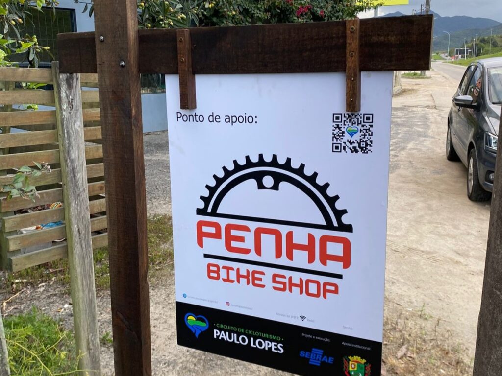
- Penha Bike Shop
Section 4
- Enchanted Waterfall
- Engenho Snacks
- Silva Bakery
- Cheese with an Accent
- Pena Restaurant
Section 5
- Eco Mirante Hotel
- Grandpa John's Countryside Farm
- Sorocaba Restaurant
Circuit Completion Certificate
The signs for the sections have QR Codes which allow you to check in digitally and guarantee the Certificate of Completion.
How it works:
- Scan the QR code on each license plate.
- Perform the check-in on site.
- If you don't have internet access, take a picture of the license plate as proof.
- Upon completing all sections, contact the Tourism Secretariat to request your certificate, available in physical or digital format.
Ready to cycle through Paulo Lopes?
O Paulo Lopes Cycling Circuit It is ideal for experienced cyclists, motivated beginners, or travelers seeking new adventures. With complete signage, varied support points, and a route that combines nature, culture, and unforgettable landscapes, the circuit is establishing itself as one of the main outdoor experiences in the municipality.
Link to the circuit on STRAVA
Access the Circuit link on Strava. clicking HERE.
Happy cycling!